
Walk a McHenry County Street
A street directory search works best as a chain. Start with the address, turn it into a parcel identification number, or PIN, and then use that stable number across the tax, map, and deed systems. DEVNET is the repeatable place to browse a house-number range. Athena adds the parcel shape and nearby lots. The Recorder's index supplies the legal papers behind ownership. A voter lookup can confirm a person already known to the searcher, while a criss-cross directory can identify an occupant in a particular historic year. None of these sources alone proves who lives there now.
- Enter the house-number range, street, and city in DEVNET Property Tax Inquiry. Save the PIN, assessed name, property location, and legal description.
- Open Athena Public Property Search, locate that PIN, and click adjacent parcels when the task involves more than one address.
- Search the Recorder's free AVA index by PIN, address, and owner name. Compare the latest deed with the tax card.
- Use the Illinois voter verifier only for a supplied person, ZIP, and street. It is not an anonymous street roster.
- For an older occupant, consult Woodstock Public Library's reverse listings and city directories for the exact year.
Keep a source note beside each name. An assessed taxpayer, deed grantee, permit applicant, registered voter, and directory householder may all be different people. The street directory becomes reliable only when the record date and role travel with the name.
Search McHenry County Address Ranges
DEVNET's Address Search is the strongest tool for moving house by house. It accepts a low and high number, street name, and city. The city field matters because a postal city may not match an incorporated municipality. Basic Search is better when a PIN or owner is already known. Sales and Advanced modes answer other questions, while Mobile Home Search keeps mobile-home numbers apart from real-property PINs.
| Mode | Fields | Street-directory use |
|---|---|---|
| Basic | Parcel Number/PIN or Owner Name | Open a known tax card |
| Address | House Number Low/High, Street Name, City | Browse a block or named street |
| Sales | Sale Price Min/Max, Sale Date Min/Max | Compare dated transfers |
| Advanced | Property Class, Township, Tax District, Tax Year | Test administrative geography |
| Mobile Home | Mobile Home Number, Owner, Site Address | Search the separate mobile-home roll |
Record the tax year with every result. Online payment options are payment tools, not evidence of title or occupancy. A lender or another payer can send funds while the assessed taxpayer stays unchanged.
Read McHenry County Address Roles
The tax card distinguishes the taxpayer's “Mail To” line from the property location. The first is where tax notices go. The second is the situs address, meaning the physical location of the taxed parcel. A business, agent, lender-related destination, or out-of-county address may appear in the mailing field. Neither line lists every person in the home.
- Parcel or PIN
- The county's identification number for a taxed parcel.
- Situs address
- The physical property location, which may differ from its mail destination.
- Plat
- A recorded map that defines lots, blocks, dimensions, or a subdivision.
- Criss-cross directory
- A historical directory arranged by street or telephone number rather than only by surname.
Copy the legal description too. It can bridge a renamed road, vacant parcel, or address that the deed index did not capture in the same form.
McHenry County Street Record Layers
Several custodians index an address, but each describes a different event or legal role. The street directory should show those limits next to the access route. County Planning and Development handles permits and zoning for unincorporated land. An address within Woodstock, Crystal Lake, Huntley, or another municipality may require that city's own permit or code office.
| Record Set | Keeper | What It Shows | Access |
|---|---|---|---|
| Property and tax roll | Supervisor of Assessments / Treasurer | PIN, assessed name, mailing and property addresses | Free DEVNET search |
| GIS parcel map | County GIS | Parcel shape, adjacent lots, map layers | Free Athena viewer |
| Deeds, liens, and plats | McHenry County Recorder | Named parties, legal instruments, recording dates | AVA index; paid images; office copies |
| Voter confirmation | Illinois State Board of Elections | Match for a supplied person and address | Public verifier with required identity fields |
| Permits and code cases | County or municipality | Work, applicant, inspection, or citation event | Portal, office, or records request |
The PIN ties the first three rows together better than a street spelling. A permit or city code record must be checked with the office that had jurisdiction when the event occurred.
Map McHenry County Street Parcels
Athena supports searches by parcel, subdivision, address, owner, and sales. Its Property Info, Results, Layers, Buffer, Measure, and Print tools help connect a street line to parcel geometry. Search one known address, click its polygon, preserve the PIN and legal description, then pan along the road. DEVNET remains more repeatable for a whole number range.
PlanDev adds zoning, land use, subdivisions, water, flood, wetlands, soils, and road classifications. Historic basemaps include selected imagery from 1939 through 2026. These layers explain the land around an address, not the people inside it. A buffer is a map selection aid, not a guaranteed list of all nearby residents.
Follow McHenry County Deeds by Street
The Recorder says its real-estate index and images cover 1839 through the current effective search date. AVA is the free index and accepts name, PIN, and address searches, but it does not provide document images. Tapestry Eon is the pay-as-you-go image route. Laredo serves high-volume users and expands the fields to party name, document number, date, type, parcel, subdivision tract, address, and associated documents.
Start with the current grantee, the person receiving property in a deed. Identify the latest deed, then search its grantor, the person transferring the property, as a grantee in an earlier transaction. Mortgages, releases, assignments, and liens are not sales. If the web index fails, take the PIN, legal description, subdivision, and party names to the Recorder for grantor-grantee books, plats, microfiche, or office help. The index is not a title opinion.
McHenry County Permits by Address
Address-linked permits can date an addition, demolition, deck, fence, garage, shed, sign, pool, or trade job. They identify an application or work event, not a full household. For unincorporated parcels, use County Planning and Development. Inside an incorporated place, ask that city or village.
The Woodstock licensing and permitting page is one municipal example from the manifest.
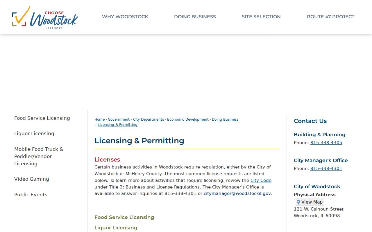
The screen shows why jurisdiction must be checked before treating a county search as complete. Woodstock also handles civil ordinance matters through administrative adjudication.
The Woodstock administrative court page explains that local route.
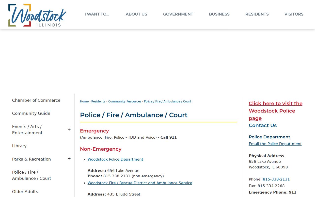
An adjudication record may tie a respondent and address to a dated ordinance case, but it still does not establish every occupant.
For a documented traffic event, the Woodstock tickets and accident reports page identifies the city's official request route.
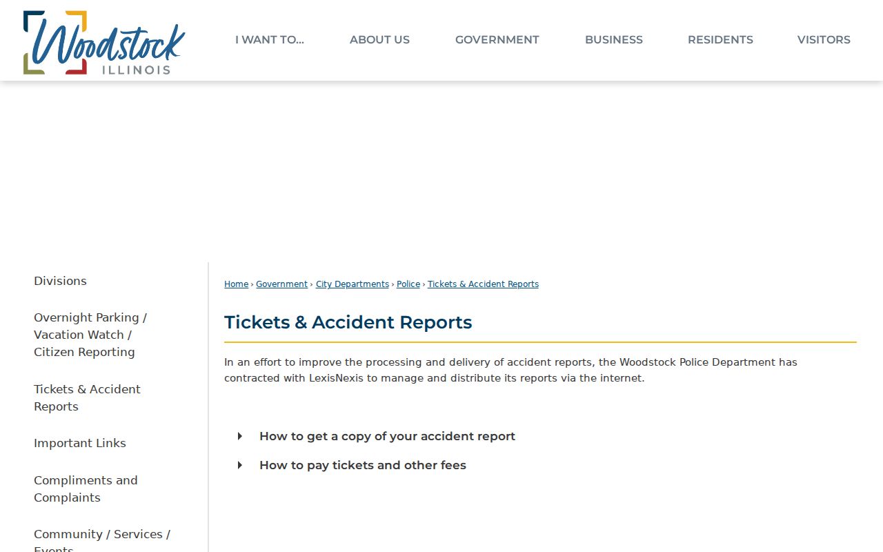
An accident report can connect a street location to one dated incident. It should be read as an event record, not as proof that a named person lived at the nearby address.
Verify McHenry County Voters Carefully
Illinois does not offer a public, countywide name-and-address roster through its voter verifier. The form requires first and last name, birth date, and five-digit ZIP. It then asks for street number and a street-name selection. A match confirms the supplied registration details. It does not reveal all voters on the road.
The statewide voter file has strict eligibility and use rules. Public fields are also redacted, and Address Confidentiality Program records receive added protection. An inactive record, recent move, postal mismatch, or protected voter can explain a non-match. The County Clerk's correction form is the right channel for a voter thought to have moved or died.
Old Woodstock Streets Break Searches
The 1914 Woodstock directory preserves a practical trap. Lumber Street was then the name for East Judd, Dietz Street became East Jackson, and Fruit Alley became Greenlee. Clay, Benton, and Dean formed the east-west numbering base, while Jackson and Dietz formed the north-south base. Blocks used 100 numbers and roughly one number per 20 feet of frontage.
A no-result search under the modern name does not prove that a family left. Test the old name, a number range, surname initials, spouse notation, and nearby years. Woodstock Public Library's reverse listings are the right historical handoff; the full shelf is covered in the McHenry County city directories.
Watch McHenry County Recorded Names
The Recorder's free Property Fraud Alert sends email, text, or voice notice when a selected name appears in a newly recorded document. The notice includes county, document number, document type, recorded date, and matched party name. Businesses, trusts, and name variants need separate exact subscriptions. It is a monitoring tool, not proof that fraud occurred.
McHenry County added a formal deed-fraud referral and review process in March 2026. That timely change makes the alert useful for an owner watching a known parcel or family name. Any suspicious hit should be checked against the actual instrument and referred through the Recorder's stated process.
Limits of McHenry County Street Records
A street directory cannot provide a complete current household. Tax and deed systems focus on parcels and owners. Public voter verification requires facts about a known person. Utilities, motor-vehicle addresses, restricted vital records, confidential court files, and protected voter addresses do not become public merely because a street is known. Renters and other co-residents may leave no public address-keyed entry at all.
Dates matter. A directory entry belongs to its publication year, a deed records a legal event, and a tax card reflects its stated tax year. Require two independent matches before connecting a common name to a parcel or past household.
Lawful use. Use McHenry County address records only for lawful personal research. Never use a street search to stalk, harass, intimidate, or harm anyone.