
Sources for McHenry County Neighbors
A block lookup joins several narrow sources. McHenry County's map systems show parcel shapes and surroundings. Tax cards name an assessed owner or taxpayer and distinguish the property location from the place where a bill is mailed. Recorder instruments identify named parties to deeds, plats, liens, and other documents. Woodstock civic pages reveal public events and contact points. The state voter tool verifies one supplied identity and address combination, but it does not publish an anonymous roster of everyone on a block.
| Source | What It Shows About a Block | Access |
|---|---|---|
| Athena and PlanDev | Parcel boundaries, PINs, subdivision, zoning, flood and historic-map context | Public maps; no renter or household roster |
| DEVNET address range | Taxpayer, Mail To and situs fields for nearby parcel cards | Public search; test locality spelling |
| Recorder AVA | Recorded parties and instruments attached to selected parcels | Free index from 1839 forward; some images paid |
| State voter route | One identity and address match, or restricted file fields | No public block roster; purpose limits and ACP apply |
| Civic and association pages | Public meetings, officers, event sponsors, and contact details | Public notices, not private membership lists |
The result is a set of parcel and civic records, not a household census. An owner may live elsewhere. A renter may never appear on the tax card. The Mail To field may point to a trustee, company, agent, or remote taxpayer. Permit applicants and deed parties need context too. Use dates and at least two matching facts before connecting a name to current McHenry County neighbors.
McHenry Block Tax Cards
Once a map supplies the adjacent PINs, DEVNET adds the public tax-card layer. Search a short house-number range and street name, then compare the portal's property location with its Mail To address. The property location, also called the situs, identifies where the parcel lies. Mail To identifies the tax-notice destination. They can differ for a sound reason.
Record the PIN, assessed-to name, situs, legal description, tax year, exemptions, taxing bodies, assessment lines, and any sale clues shown. A homestead exemption may support owner occupancy, yet it is an assessment classification rather than a live household report. Duplicate house numbers, mobile-home records, unincorporated pockets, and differing postal city labels can split a simple block query. Try the municipality and postal locality as controlled variations.
Note: A tax card can identify a taxpayer or owner, but it cannot identify every person who shares the home.
Map McHenry County Neighbors
The county's Athena viewer supports the immediate-block method. Search one address or PIN, open Property Info, and note the subject parcel's polygon and legal description. Then zoom out just enough to see the bordering lots. PlanDev can add subdivision, zoning, flood, wetland, and historic-aerial context. Those layers explain the physical setting, but they are not lists of residents.
- Locate the starting address or PIN in Athena. Save its PIN and legal description before moving across the map.
- Click each parcel that shares a boundary. Use Results to preserve selections and copy the neighboring PINs.
- Use Buffer only as a visual radius until the tool's exact result behavior is confirmed. Measure can clarify lot and street relationships.
- Open each PIN in DEVNET and, when needed, Recorder AVA. Keep assessed owner, mailing destination, deed party, and occupant claims separate.
- Use Print or Markup to keep a dated map. Repeat later because parcel boundaries, owners, and displayed data can change.
Athena's Buffer, Measure, Basemaps, Property Info, Results, Print, and Markup tools make the search reproducible. Historic PlanDev basemaps include years from 1939 through later aerial series, which can show how farm tracts, subdivisions, and roads changed around McHenry County neighbors. For a full named-road sweep, the McHenry County street directory carries the broader address workflow.
McHenry Deeds and Block Changes
Recorder AVA ties the selected parcels to recorded instruments. Search by PIN, address, or current grantee, then note document number, recording date, type, grantor, grantee, legal description, and associated links. A deed can document a transfer. A mortgage, release, assignment, lien, or plat may concern the same land without proving a sale. The Recorder's official online statement reaches from 1839 to the current effective date, while paid image routes and office copies may provide what the free index does not.
Permits and civic citations add a dated activity layer. Woodstock or another municipality may identify an applicant, contractor, respondent, address, permit type, hearing date, or disposition. Unincorporated land routes through county Planning. These names are leads, not automatic owners or McHenry County neighbors. Ask the proper municipality when no online index exists, then use its FOIA route for a specific permit or case.
The Woodstock FOIA page shows the city's public-record request channel.
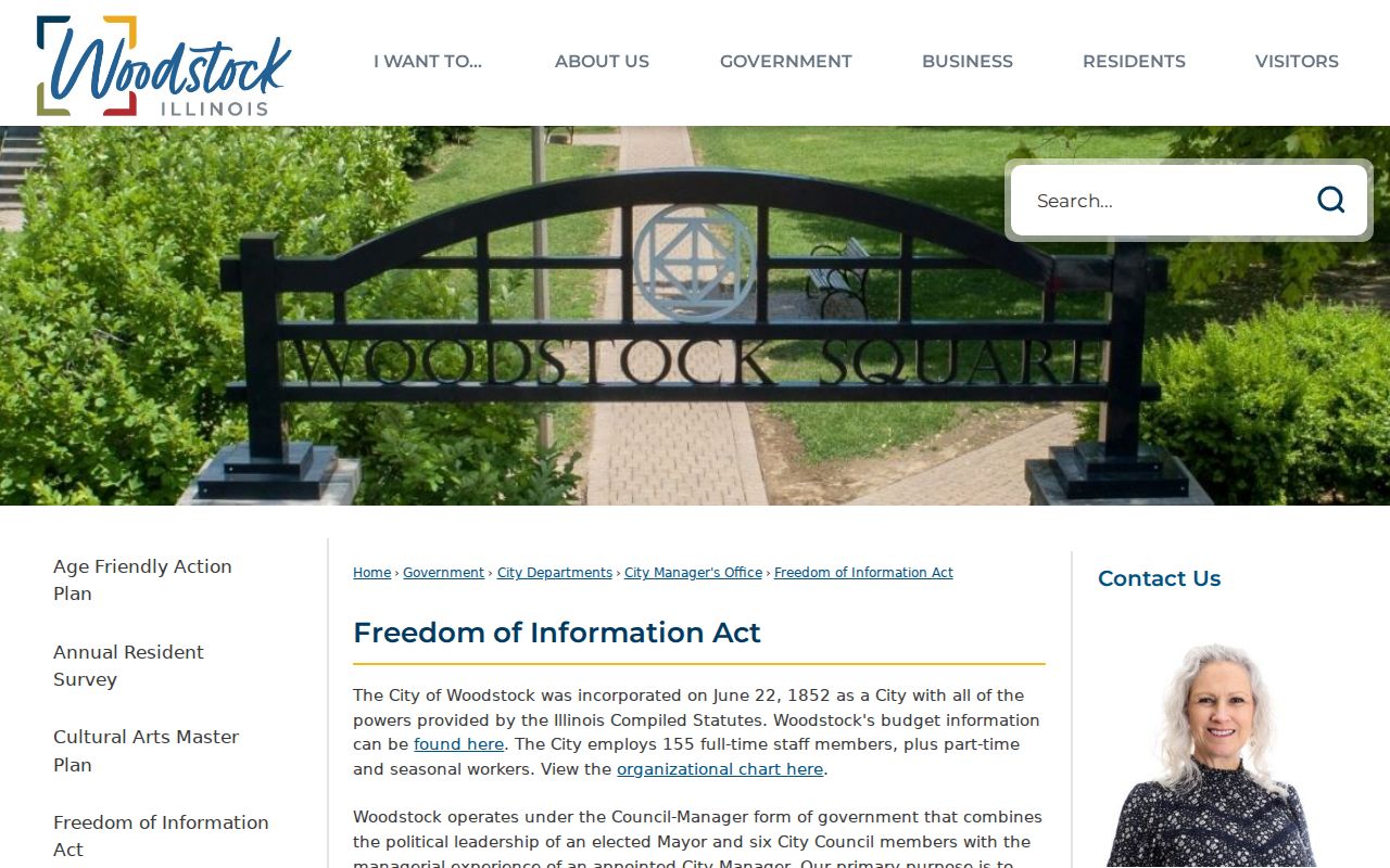
A narrow request by address, record type, and date range is easier for the city to locate and easier to interpret.
Woodstock Neighbors Gather Locally
Civic pages reveal how a block connects without exposing a member roll. Woodstock's Community Services and Events material includes neighborhood-watch and community information. Its Block Parties page documents the public route for arranging a local event. These sources can identify a municipal contact, meeting, date, or organizer. They do not establish who lives at every address.
The Community Services and Events page is one official place to find Woodstock neighborhood activity.
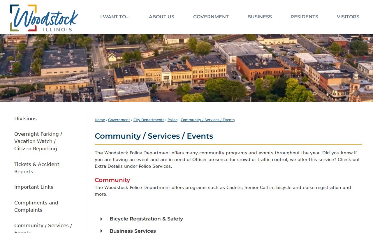
Its public programs offer a better path to community contact than trying to infer private household links.
The city also publishes a specific Block Parties process.
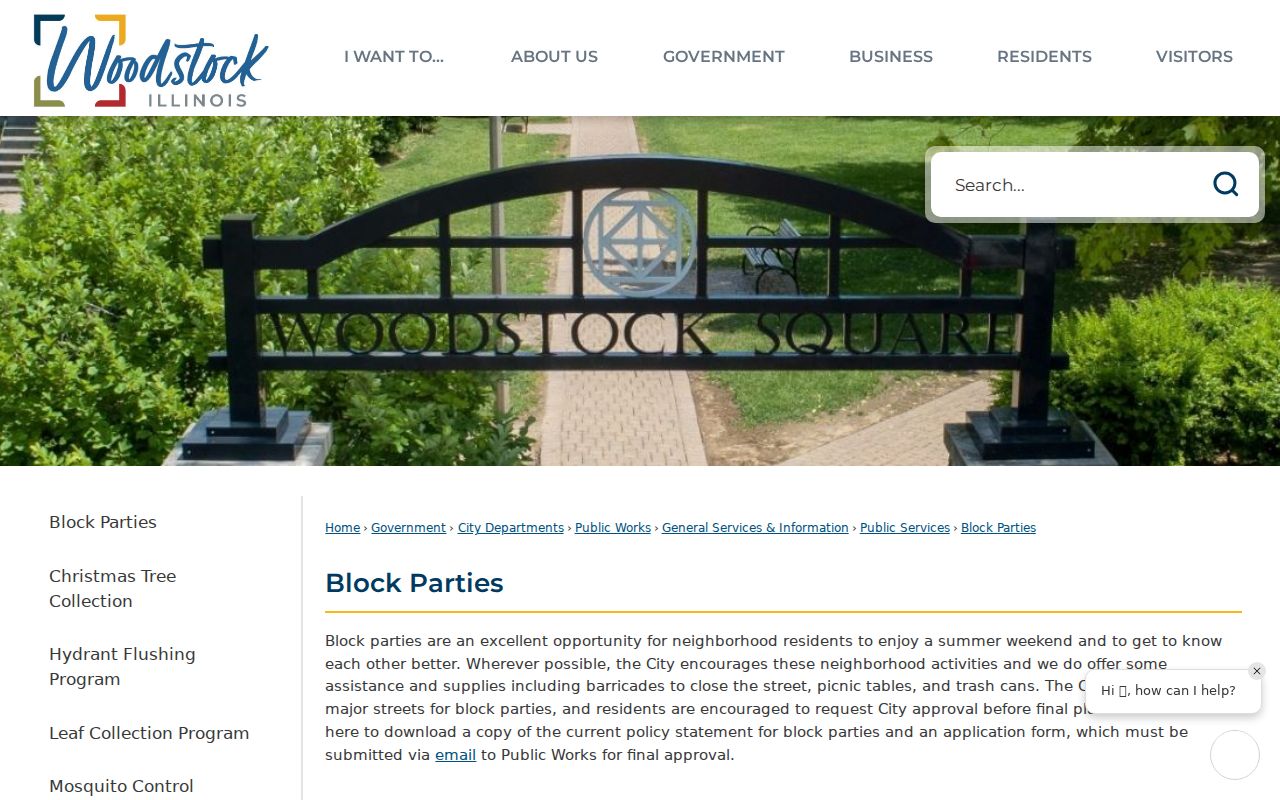
That route connects neighbors around a shared event while keeping participation voluntary.
McHenry Association Contacts
No verified countywide directory of every neighborhood association or block club was found. Use public association and municipal pages as contact points, and ask each group about its privacy policy before seeking an old roster. A public officer, event sponsor, or general email address does not authorize publication of member names or home addresses.
Harvest Run HOA
The public association site provides board, contact, and community information. No public member directory should be inferred.
Woodstock Community Services
Municipal pages cover neighborhood watch, block events, and civic programs without offering a household roster.
Libraries and MCHS
Local-history files, society pages, church archives, newspapers, and yearbooks may document older public organizations and events.
The Harvest Run HOA site demonstrates the public-facing association layer available to McHenry County neighbors.
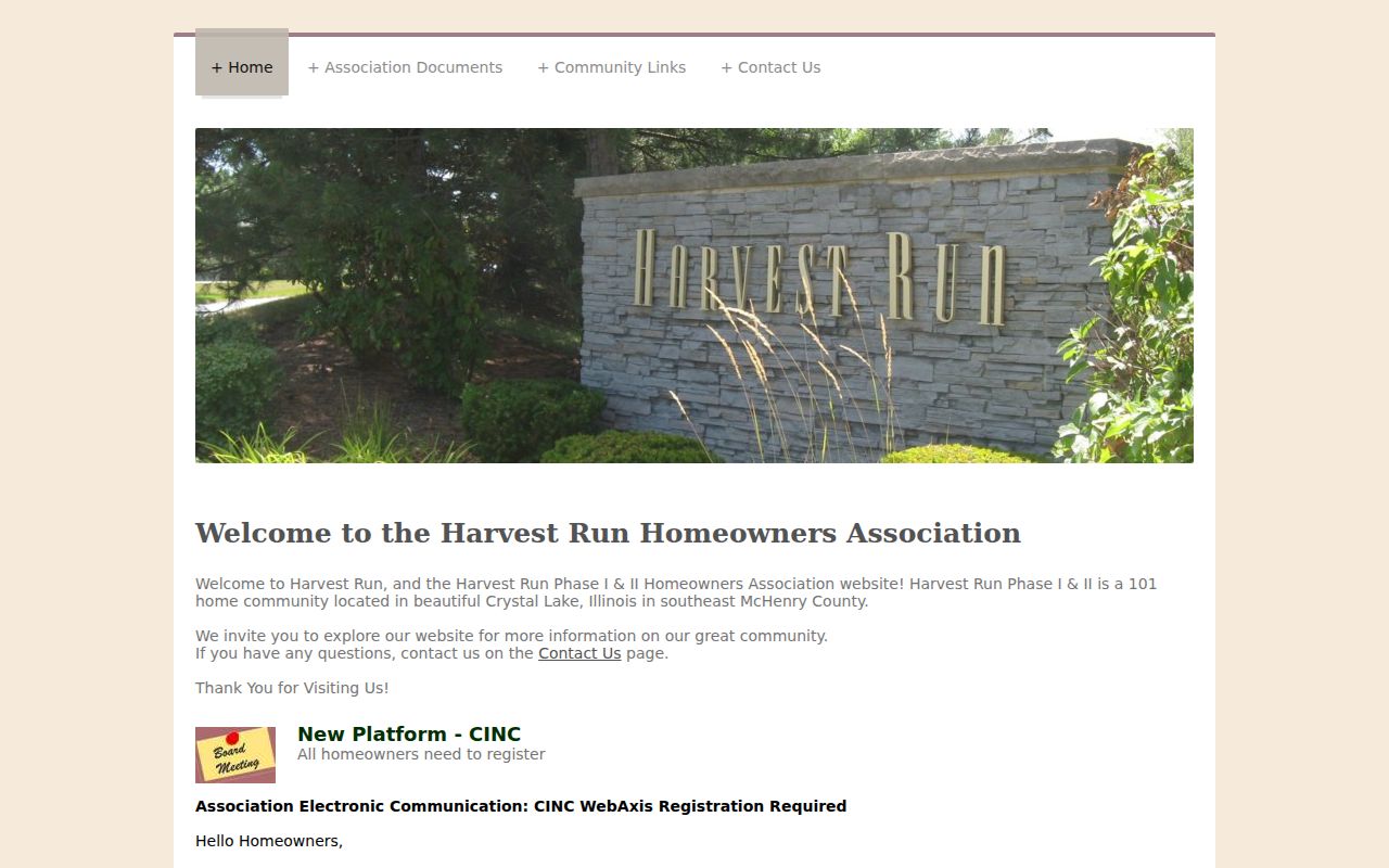
Use its stated contact routes instead of constructing an unverified membership list from parcel names.
McHenry Block Voter Limits
Illinois does not offer a public button for all voters on one McHenry County block. The state verifier requires first name, last name, birth date, a five-digit ZIP, and then street-number and street-name selection. It tests details for one supplied person. A full voter file is limited to registered political committees for bona fide political purposes and certain NVRA uses, with commercial solicitation or business use barred.
Public voter data withholds phone numbers, Social Security numbers, street numbers, birth dates, and email addresses under 10 ILCS 5/1A-25. Date of birth is no longer supplied in the full file. The Address Confidentiality Program also substitutes an address and protects qualifying participants' real voter information. A blank or limited result may show that privacy controls work as intended.
Note: Do not combine parcel and voter clues to uncover an address protected by Illinois's Address Confidentiality Program.
Official and Predicted Neighbors
Commercial neighbor tools often blend parcel data, marketing records, old addresses, and predicted relationships. The source and date may be hard to audit. Official records are narrower, but their custodian, field meaning, and correction route are clearer. That distinction matters when two people have the same name or an owner lives away from the parcel.
| Source Type | Useful For | Core Limit |
|---|---|---|
| County map and tax roll | Parcel boundary, PIN, assessed owner, situs and Mail To fields | Not a renter or household list |
| Recorder and permit record | Dated land parties, applicants, and public work | A named party may be an agent or contractor |
| Civic or association page | Public officers, events, meetings, and general contacts | Not permission to publish a private roster |
| Commercial prediction | Possible historical leads | May merge names, lag changes, or overstate relationships |
Privacy for McHenry County Neighbors
Public records do not reveal every renter, child, unrelated household member, utility subscriber, delivery account, or private association member. DMV personal information is restricted by federal law. Sealed cases and restricted vital certificates remain closed. Judges, law-enforcement personnel, and people protected by specific programs may have additional address safeguards. Respect the custodian's limits and never treat a missing field as a puzzle to defeat.
If a public record appears wrong, send the correction to its keeper: the County Clerk for voter or filing records, the Recorder for an instrument, the Circuit Clerk for a case, the municipality for a permit or citation, or the association for its own page. The Woodstock staff directory helps route city questions to the right office.
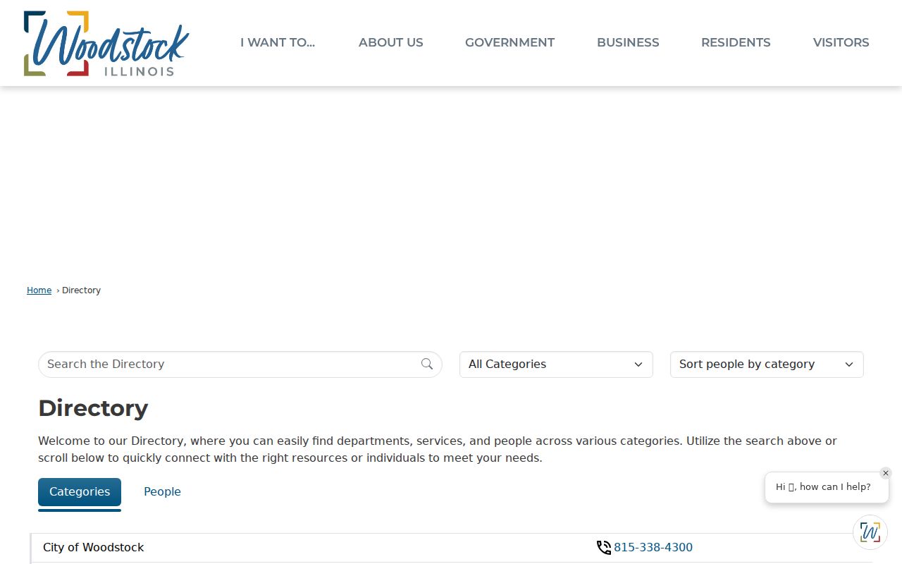
Contacting the custodian is more reliable than repeating a suspected error across other records.
Lawful use. Research McHenry County neighbors only for lawful civic, historical, or personal reasons. Never use public details to watch, harass, threaten, expose, or intimidate anyone.