
McHenry Previous Resident Sources
A backward address trail crosses several record systems. Start with the newest source that clearly identifies the parcel, then move toward older books and archives. Ownership and occupancy are separate questions. A deed names parties to a land transfer, while a reverse directory or census can show who lived there in a given year.
| Source | McHenry coverage | Where held | What it can show |
|---|---|---|---|
| Recorder land index and images | 1839 to current effective date | AVA, Tapestry, Laredo, Recorder office | Deeds, parties, dates, legal descriptions, liens, and plats |
| Tax and assessment records | Current online; older township cards may reach the late 1800s | DEVNET, Athena, township offices | PIN, taxpayer, mailing and situs addresses, values, tax districts |
| Woodstock directories | 1914, 1922, 1935, and mostly 1938-1990 with gaps | Woodstock Public Library | Address occupant, spouse notation, job, employer, phone |
| Census schedules | Local federal 1840-1930; Illinois 1855 and 1865 | Libraries, MCHS, FamilySearch | Household, age, relationship, occupation, township |
| Sanborn maps and aerials | Town-specific maps; historic aerials from 1939 | WPL, MCHS, LOC, county GIS | Building form, use, footprint, and site continuity |
| Permits | Late 1950s forward in the MCHS guide; local holdings vary | City, village, or county office | Construction, alteration, applicant, inspection, and date |
| Court, probate, and obituaries | Court files into the 1850s; death and estate dates vary | Circuit Clerk, IRAD, MCHS, newspapers | Heirs, executor, death, judgments, and address links |
For a recent house, begin with DEVNET and the Recorder. For a Woodstock home in the printed-directory era, add the address-order directory. For a farm or early lot, the legal description, atlas, township tax card, and archive route matter more than the current postal address.
Start McHenry Address History at DEVNET
The McHenry County Property Tax Inquiry accepts a PIN or owner in Basic Search. Address Search uses low and high house numbers, street name, and city. Advanced Search can use property classes, townships, tax districts, and a low-to-high tax-year range. Copy the PIN, “Assessed To” name, “Mail To” address, property location, legal description, tax year, values, exemptions, taxing bodies, and any sale or map link shown.
“Mail To” is where tax correspondence goes. It may be a different home, a business or agent, or a place outside McHenry County. The property location, also called the situs address, is the land being taxed. Neither line proves who slept at the home. Previous residents need support from directories, census schedules, or another occupancy source.
Key distinction. Keep the PIN and legal description constant when an address, owner spelling, or street name changes.
Walk McHenry Deeds Backward
The Recorder's free AVA index accepts a name, PIN, or address and states that indexed real-estate documents and images run from 1839 through the current effective date. The free search is an index. Tapestry Eon is a pay-as-you-go image route, while Laredo serves higher-volume subscribers and adds fields such as party, document number, date, type, parcel, subdivision tract, address, and associated documents. Office staff, books, microfiche, plats, and archived land records are the fallback when online indexing is unclear.
- Copy the current PIN, legal description, subdivision, lot, block, address, and tax year from DEVNET.
- Search AVA by address, PIN, and current owner. Compare the date and document type on each hit.
- Identify the purchase deed. Record its grantor, grantee, deed type, date, document number, and legal description.
- Search that grantor as an earlier grantee to find the prior purchase. Repeat one transfer at a time.
- When the portal stops, give the Recorder the PIN and legal description and ask for grantor/grantee books, book-page references, microfiche, and plats.
- Grantor
- The person or entity transferring an interest in land.
- Grantee
- The person or entity receiving that interest.
- Chain of title
- The linked sequence of land transfers for one parcel.
- Legal description
- The lot, block, subdivision, or metes-and-bounds text that identifies land apart from its street address.
The Tapestry land-records service is one official image channel described by the Recorder.
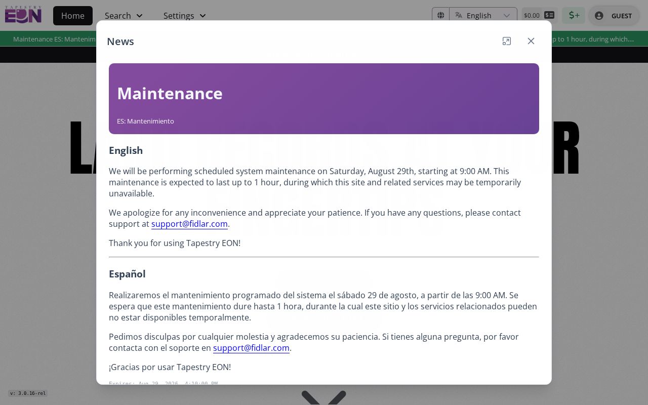
The service capture belongs after the free index check, when the document type and date show that an image is worth retrieving.
Separate McHenry Owners From Other Parties
A Recorder result tied to an address is not always a sale. Mortgages, releases, assignments, liens, plats, foreclosure notices, and tax records can all name people or firms connected to the parcel. A mortgage shows financing. A release may show that an obligation ended. A tax buyer's certificate does not by itself prove that title transferred. Use the deed type, grantor/grantee sides, date, and matching legal description before adding a person to the owner chain.
Fidlar's Laredo land-record platform is the Recorder's subscription path for broader searches.

The expanded search fields can help with a subdivision, associated instrument, or name variant, but the document image and legal description still control the conclusion.
McHenry House History Has Local Help
Woodstock Public Library's house-research instructions use a practical local sequence: check city directories for past owners and occupants, search the Recorder, search Newspapers.com by address while omitting directionals when needed, inspect the Historic Houses vertical file by street, and use surname indexes, cemetery books, Sentinel papers, yearbooks, and census schedules. The Historical Society adds legal descriptions, grantor/grantee indexes, township tax records, assessor cards, permits, Sanborn maps, photographs, and subject files.
This is a strong McHenry County previous residents workflow because it does not force every question through a name search. Address, parcel, building, household, and death evidence remain separate until they agree. The Historical Society normally answers research requests in three to five business days; its published terms give members up to three complimentary research hours and charge nonmembers $30 per hour, plus scans or copies.
Repair McHenry's Changed Street Names
The 1914 Woodstock directory explains several traps. Lumber Street was then East Judd, Dietz Street was East Jackson, and Fruit Alley was Greenlee. It also describes Clay, Benton, and Dean as the east-west numbering base, and Jackson and Dietz as the north-south base. Numbers advanced by 100 per block and one number per 20 feet of frontage.
A failed modern-address search can hide previous residents under an old street name or nearby number. Search both names, remove or add the directional, and check a number range. Then compare a Sanborn sheet, plat, or legal description to make sure the old and new entries refer to the same ground. The full Woodstock volume sequence and entry marks are covered in the McHenry County city directories collection.
Date McHenry Homes Without Guessing
Sanborn maps date the built setting, not the resident. Woodstock sheets include 1885, 1893, 1898, 1905, 1912, and selected 1932 material. Crystal Lake includes 1893, 1898, 1912, 1921, 1929, 1936, and 1955. A sheet can show whether a structure was a dwelling, store, hotel, or industrial site, along with its stories, material, and footprint. Historic county aerials begin with 1939, and Athena or PlanDev provides selected later basemaps.
Building permits become another layer in the late 1950s according to the Historical Society guide, though each municipality keeps its own record. A permit may date an addition, garage, roof, pool, or demolition and may name an applicant or contractor. That person is a lead, not automatic proof of ownership or residence.
The Woodstock building-permit information explains the local permit route.
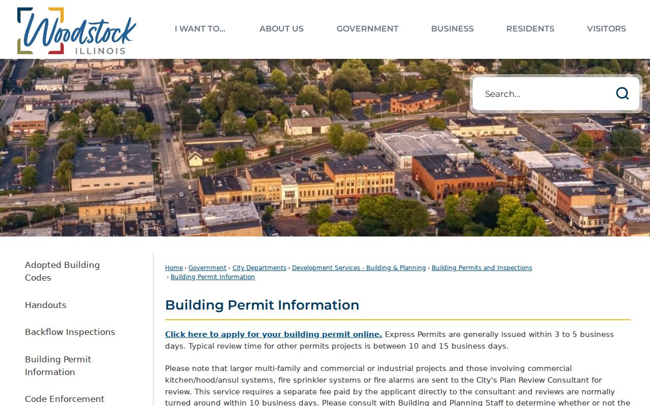
The municipal page helps route a Woodstock address. Property inside another city or village must go to that municipality, while unincorporated property goes through county Planning and Development.
Match McHenry Previous Residents by Era
Owners are only one layer. Reverse or criss-cross directories arrange names by street and house number, so they can identify listed occupants and businesses. Woodstock's 1914, 1922, and 1935 books, later runs with gaps, and telephone books from about 1948 can be paired with census schedules. Local holdings list federal census years from 1840 through 1930 and Illinois schedules for 1855 and 1865. The 1950 federal census is the newest generally public release under the 72-year rule.
Use a short process: directory address to named occupant, named occupant to the nearest census, census household to spouse and kin, then household names back to deeds or papers. A renter may appear in the directory or census but never in the deed chain. An owner may hold the parcel but use another mailing address. Record those differences instead of smoothing them away.
Lawful use. Research McHenry County previous residents for family or house history, and never use a living person's details to track, harass, or harm them.
Close McHenry Past Resident Trails
An obituary may name a spouse, child, former town, or funeral home. A probate file may identify heirs, an executor, and addresses tied to the estate. Court files in McHenry County reach into the 1850s, while older archive leads may sit at IRAD. The Woodstock Sentinel, McHenry Plaindealer, Northwest Herald, Historical Society death notices, cemetery volumes, and library name indexes each cover a different town or date span.
Estate deeds require care. The representative's address may be their own, not the former resident's home. If a surname is common, require at least two matches, such as the same spouse and street, the same job and paper event, or the same legal description and probate case. The 1837-1848 County Journal offers a useful local warning: it disappeared, resurfaced in Springfield in 2010, and was restored. Missing from one portal does not mean lost forever.
McHenry County's March 2026 deed-fraud referral and review process also shows that a recorded item can be challenged. The free Property Fraud Alert sends email, text, or voice notice when a selected name matches a new filing. It is a timely safeguard, not proof that the filing is valid or fraudulent.